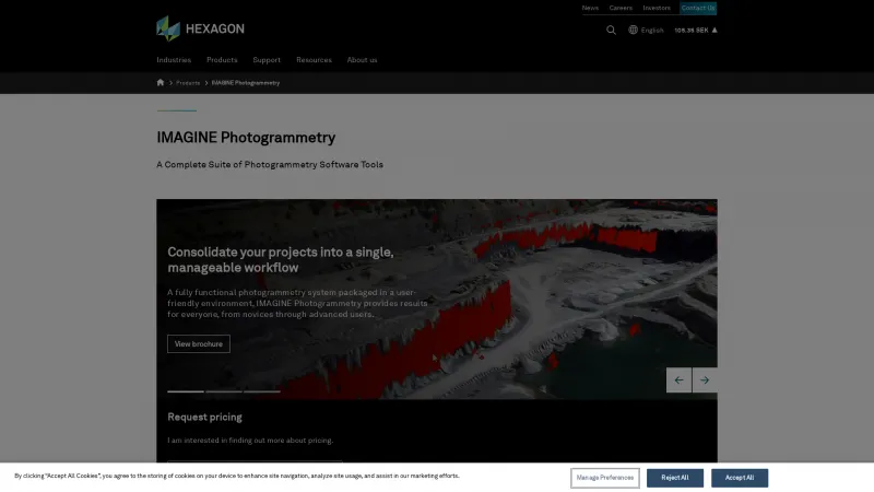
Accurate 3D Models from Photos for Professionals
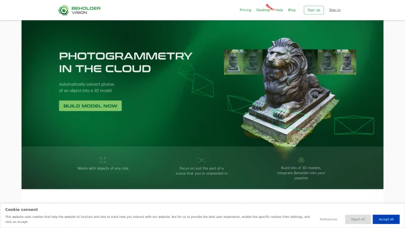
Photogrammetry software is designed to convert photographs into precise 3D models and measurements. This technology addresses the challenges of capturing spatial data in various fields, including architecture, engineering, and surveying. By utilizing advanced algorithms, photogrammetry software processes images taken from different angles to create accurate representations of physical objects and environments. Read more
Key features of photogrammetry software include automated image alignment, dense point cloud generation, and texture mapping. These tools enable users to produce high-resolution 3D models, perform topographic mapping, and conduct volumetric analysis. The software often integrates with Geographic Information Systems (GIS) and CAD applications, enhancing its utility for professionals.
This software is best suited for industries such as construction, archaeology, and environmental monitoring, where precise measurements and visualizations are critical. Photogrammetry software empowers users to streamline workflows, reduce costs, and improve project outcomes by providing reliable data for decision-making and analysis.
