Unlock Spatial Insights with CARTO's Cloud-Native Location Intelligence Platform
Location Intelligence SoftwareDiscover CARTO's Location Intelligence Platform for powerful spatial analytics. Analyze, visualize, and create with ease using our cloud-native tools and intuitive interface.
About CARTO
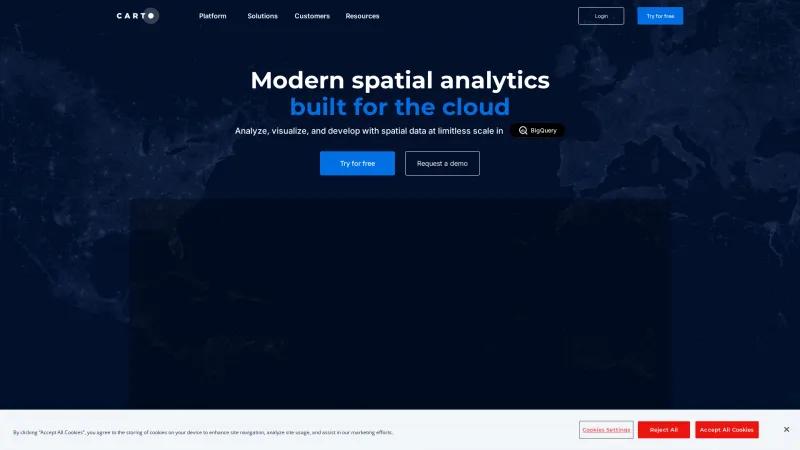
CARTO's homepage presents a compelling overview of its Location Intelligence Platform, which is expertly designed for spatial analytics. The platform stands out for its cloud-native capabilities, allowing users to analyze, visualize, and develop applications with spatial data at an unprecedented scale.
One of the most impressive features is the intuitive drag-and-drop interface that simplifies complex data processing and analysis, making it accessible to users of all skill levels. The integration of built-in GenAI capabilities further enhances productivity, enabling users to interact with their data seamlessly and derive insights quickly.
CARTO's commitment to providing unmatched data visualization capabilities is evident, as it allows users to create stunning interactive maps and dashboards that can handle billions of data points without compromising performance. This is particularly beneficial for industries such as telecoms, insurance, and logistics, where spatial data plays a crucial role in decision-making.
The platform's ability to connect with major cloud services like Google Cloud, AWS, and Azure ensures that users can leverage their existing data infrastructure while enjoying the benefits of CARTO's advanced analytics tools. Additionally, the extensive library of over 12,000 geospatial datasets available through the Data Observatory enriches the analysis process, providing users with a comprehensive resource for informed decision-making.
Customer testimonials highlight CARTO's effectiveness in solving complex industry challenges, showcasing its role in enhancing operational efficiency and driving data-driven strategies. The platform's enterprise-grade security and governance features further solidify its position as a trusted solution for organizations looking to harness the power of spatial analysis.
Overall, CARTO's Location Intelligence Platform is a robust and innovative tool that empowers businesses to unlock the full potential of their spatial data, making it an invaluable asset in today's data-driven landscape.
GIS Features
- Census Data Integration
- Color Coding
- Geocoding
- Image Exporting
- Internet Mapping
- Interoperability
- Labeling
- Map Creation
- Map Sharing
- Spatial Analysis
Leave a review
User Reviews of CARTO
No reviews yet.

