RTOPO Topography CAD: Advanced Solution for Topographical Analysis and CAD Workflow Enhancement
Civil Engineering SoftwareDiscover RTOPO Topography CAD, the ultimate tool for civil engineering and surveying. Experience fast data processing, hydrology simulations, and seamless CAD integration.
About RTOPO Hydrology
RTOPO Topography CAD is an exceptional tool for professionals in the fields of civil engineering, surveying, and hydrology. The software's robust capabilities for editing XYZ files and performing complex topographical analyses make it a standout choice for those looking to enhance their CAD workflows.
One of the most impressive features of RTOPO is its ability to handle large datasets with remarkable speed. The fast triangulation process can manage millions of points in just a few minutes, which is a significant advantage for projects that require efficiency without sacrificing accuracy. The interactive editing options allow users to modify, delete, or add points seamlessly, ensuring that the data remains precise and up-to-date.
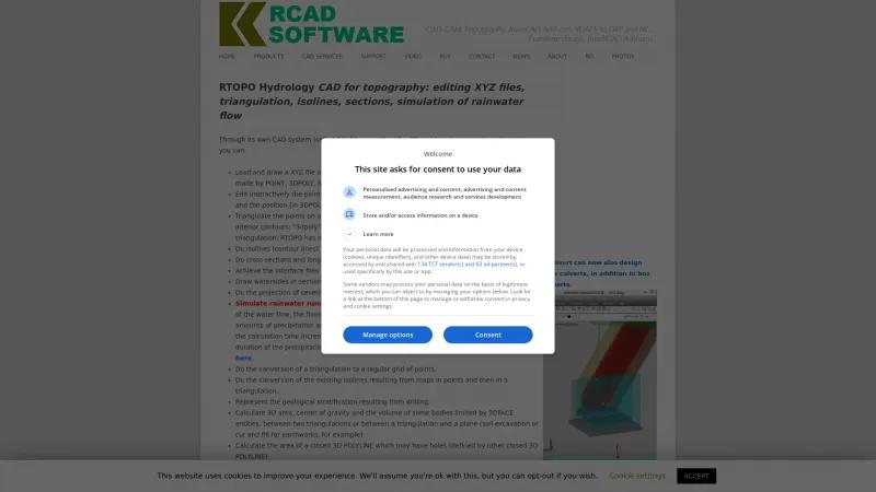
The software's hydrology simulation capabilities are particularly noteworthy. Users can simulate rainwater runoff, identify watersheds, and analyze flooded areas, which is crucial for effective water management and infrastructure planning. The ability to visualize water flow dynamics adds a valuable layer of insight for engineers and planners.
RTOPO also excels in its versatility, offering features such as isoline generation, cross-section creation, and geological stratification representation. The integration with other CAD systems, including the ability to import and export LandXML files, enhances its usability across various platforms, making it a flexible choice for professionals.
Moreover, the user-friendly interface, combined with OpenGL real-time rendering, provides an intuitive experience for both novice and experienced users. The availability of video tutorials and documentation further supports users in maximizing the software's potential.
RTOPO Topography CAD is a powerful and comprehensive solution for topographical analysis and CAD services. Its advanced features, speed, and ease of use make it an invaluable asset for professionals seeking to elevate their projects to new heights. Highly recommended for anyone in the industry!
Leave a review
User Reviews of RTOPO Hydrology
No reviews yet.

