Discover ArcGIS Geostatistical Analyst: Transform Your Spatial Data Analysis
Geology and Seismic SoftwareUnlock advanced spatial analysis with ArcGIS Geostatistical Analyst. Utilize powerful interpolation methods and streamline model selection for informed decision-making.
About ArcGIS Geostatistical Analyst
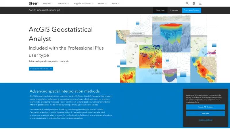
ArcGIS Geostatistical Analyst is an exceptional extension for ArcGIS Pro and ArcGIS Enterprise, designed to elevate the capabilities of spatial interpolation and geostatistical analysis. This powerful toolset is indispensable for professionals across various fields, including environmental analysis, precision agriculture, and resource exploration.
One of the standout features of Geostatistical Analyst is its advanced spatial interpolation methods. By utilizing techniques such as Kriging, Inverse Distance Weighting (IDW), and Empirical Bayesian Kriging, users can generate precise estimates for unknown locations based on known sample data. This capability not only fills in data gaps but also enhances the understanding of spatial patterns, making it a vital resource for informed decision-making.
The automation of model selection is another remarkable aspect of this extension. By streamlining the process of finding the most suitable prediction model, Geostatistical Analyst saves users valuable time and minimizes the potential for errors. The intelligent default settings further enhance productivity, allowing professionals to focus on analysis rather than administrative tasks.
Collaboration is made seamless with the integration of ArcGIS Enterprise and ArcGIS Online, enabling users to share results and workflows effortlessly. This feature fosters a collaborative environment, essential for teams working on complex projects that require input from multiple stakeholders.
Moreover, the extensive toolbox provided by Geostatistical Analyst empowers users to validate their predictions and estimate margins of error, ensuring that the results are not only accurate but also reliable. The ability to export results in various formats, such as contour lines and polygons, enhances communication and supports effective decision-making.
ArcGIS Geostatistical Analyst is a comprehensive and user-friendly extension that significantly enhances the analytical capabilities of ArcGIS Pro. Its advanced interpolation methods, automation features, and collaborative tools make it an essential asset for any professional looking to leverage spatial data effectively. Whether you are involved in environmental studies, agriculture, or resource management, this extension will undoubtedly elevate your analytical prowess and support your career growth.
Leave a review
User Reviews of ArcGIS Geostatistical Analyst
No reviews yet.


