Transform Your Mapping Projects with Mapware’s Innovative 3D Mapping and Photogrammetry Solutions
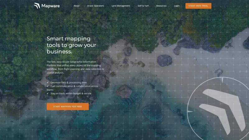
Drone Mapping SoftwareRevolutionize your mapping projects with Mapware's innovative Geographic Information Platform. Experience seamless data processing, security, and user-friendly design.
About Mapware
Mapware is truly revolutionizing the field of 3D mapping and photogrammetry with its innovative Geographic Information Platform. The seamless integration of flight planning, data collection, and spatial analysis into one user-friendly interface is a game-changer for professionals across various industries, including oil and gas, construction, and agriculture.
One of the standout features of Mapware is its ability to process massive datasets in the cloud without the frustrating limitations often found in other software. This capability not only enhances efficiency but also allows users to focus on what truly matters—creating accurate and detailed maps. The speed at which users can transition from raw data to finished products is impressive, making it an invaluable tool for those who need to deliver results quickly.
Moreover, Mapware prioritizes security, ensuring that client data is protected with robust measures that rival traditional on-premise solutions. This commitment to data integrity builds trust and confidence among users, which is essential in today’s data-driven landscape.
The positive feedback from users, reflected in its top ranking on independent review sites, speaks volumes about the effectiveness and reliability of Mapware's software. The company’s dedication to continuous improvement and customer satisfaction is evident in their resources, including free eBooks and a comprehensive knowledge base.
Mapware is not just a tool; it’s a partner in success for businesses looking to enhance their mapping capabilities. With its cutting-edge technology, commitment to security, and user-centric design, Mapware is undoubtedly a leader in the photogrammetry software space. If you're in the market for a solution that can elevate your mapping projects, I highly recommend giving Mapware a try.
GIS Features
- 3D Imagery
- Image Exporting
- Image Management
- Map Creation
- Map Sharing
- Spatial Analysis
Drone Mapping Features
- 2D Maps
- 3D Maps
- Compare Maps
- Distance Measurement
- Elevation Profiles
- Overlays
- Photogrammetry
- Sharing Tools
- Site Progress Tracking
- Virtual Inspections
Leave a review
User Reviews of Mapware
No reviews yet.

