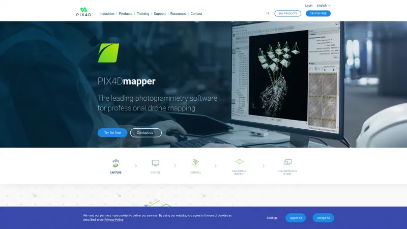
Drone Mapping Software for 3D Models and Maps
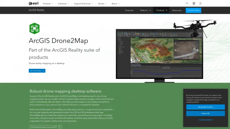
Drone mapping software is designed to facilitate the creation of detailed maps and 3D models using aerial imagery captured by drones. This software addresses challenges in various industries, such as agriculture, construction, mining, and environmental monitoring, by providing accurate geospatial data that enhances decision-making and operational efficiency. Read more
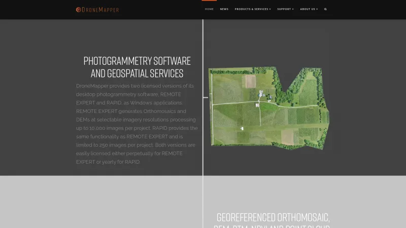
Key features of drone mapping software include automated flight planning, real-time data processing, and advanced analytics tools. Users can generate orthomosaic maps, digital elevation models, and volumetric measurements, which are essential for project planning and progress tracking. The software often integrates with Geographic Information Systems (GIS) for enhanced data visualization and analysis.
This software is best suited for professionals in surveying, agriculture, urban planning, and environmental science, as well as businesses looking to leverage drone technology for improved data collection and analysis. By utilizing drone mapping software, users can save time, reduce costs, and improve the accuracy of their mapping projects.
