Revolutionize Data Visualization with CartoVista's Cloud-Based GIS Mapping Software
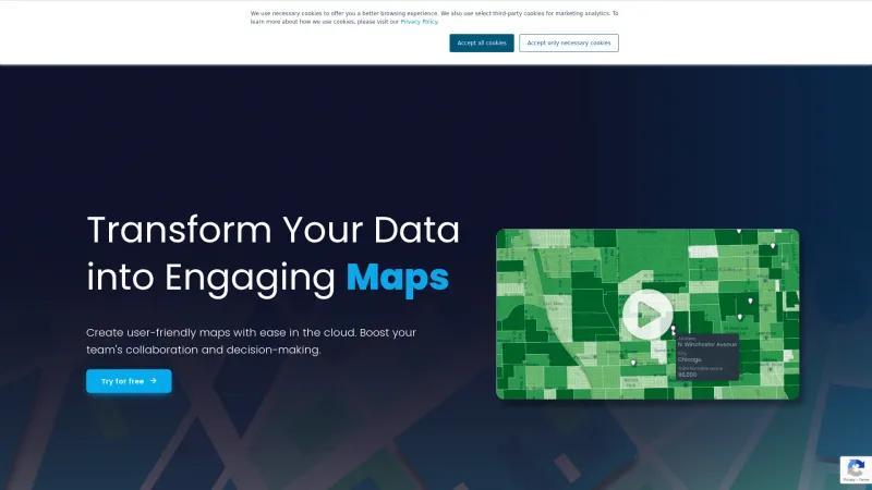
GIS SoftwareDiscover CartoVista, the user-friendly cloud-based GIS mapping software that empowers organizations to create interactive maps effortlessly. Transform data into insights today!
About CartoVista
CartoVista is a game-changer in the realm of mapping software solutions, particularly for organizations seeking to leverage cloud-based GIS technology. Their platform stands out for its user-friendly interface, allowing teams to create engaging and informative maps without requiring extensive GIS expertise. This accessibility is a significant advantage for businesses across various sectors, including local government, energy, retail, and finance.
One of the most impressive aspects of CartoVista is its ability to integrate diverse data sources seamlessly. Users can mix simple spreadsheets with complex GIS data, enabling informed decision-making based on comprehensive analyses. The testimonials from clients like Margaret Malloy from Southern Company highlight the effectiveness of CartoVista in meeting specific regulatory requirements, such as compliance with FERC Order 2023. This speaks volumes about the software's reliability and the professionalism of the CartoVista team.
Moreover, the platform's drag-and-drop functionality significantly reduces the time needed to turn data into interactive maps, which is crucial for businesses looking to cut operational costs and expedite project timelines. Kevin Jones from PCI/Catalyst noted how quickly they were able to implement CartoVista, underscoring its efficiency.
CartoVista also excels in providing tailored solutions for various industries, from environmental analysis to real estate market assessments. Their commitment to helping clients visualize data effectively ensures that critical information is communicated clearly, fostering better collaboration and strategic planning.
CartoVista is not just a mapping tool; it is a comprehensive solution that empowers organizations to transform their data into actionable insights. With its innovative features, exceptional customer support, and a focus on user experience, CartoVista is undoubtedly a top choice for businesses aiming to enhance their data visualization capabilities.
GIS Features
- Census Data Integration
- Color Coding
- Geocoding
- Image Exporting
- Internet Mapping
- Labeling
- Map Creation
- Map Sharing
- Spatial Analysis
Leave a review
User Reviews of CartoVista
No reviews yet.


