Powerful GIS Software for Geographic Data Management
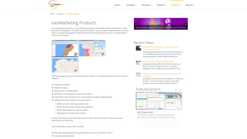
Geographic Information System (GIS) software is designed to capture, store, analyze, and manage spatial and geographic data. It addresses the need for organizations to visualize and interpret data related to locations, enabling informed decision-making. GIS software solves problems related to urban planning, environmental management, resource allocation, and logistics by providing tools for mapping, spatial analysis, and data visualization. Read more
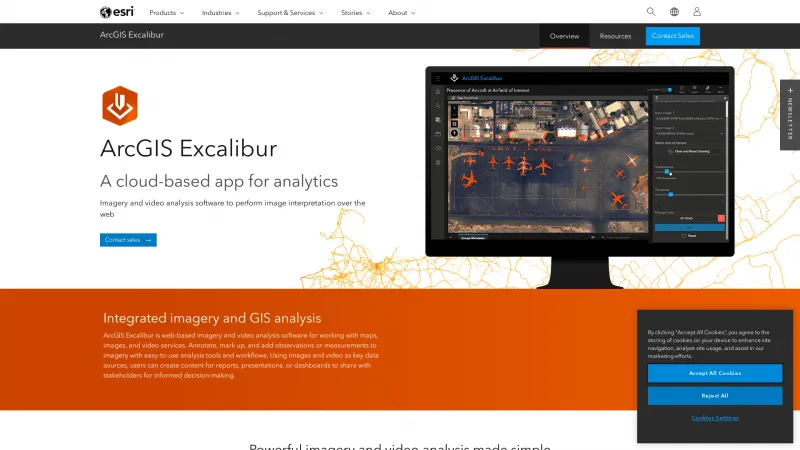
Key features of GIS software include advanced mapping capabilities, spatial analysis tools, data integration from various sources, and customizable reporting options. These features allow users to create detailed maps, analyze spatial relationships, and generate insights that drive strategic planning and operational efficiency.
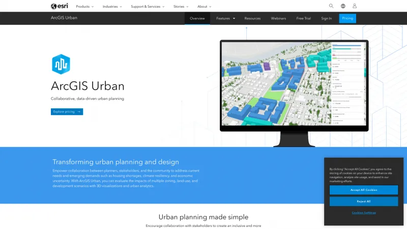
GIS software is best suited for professionals in industries such as urban planning, environmental science, transportation, and public safety. It is also widely used by government agencies, non-profit organizations, and businesses that require location-based analysis to enhance their operations and services.
