BatchGeo: The Ultimate Tool for Effortless Location Data Mapping and Visualization
GIS SoftwareDiscover BatchGeo, the user-friendly tool for visualizing location data. Easily map multiple addresses, customize markers, and ensure data privacy. Try it now!
About BatchGeo
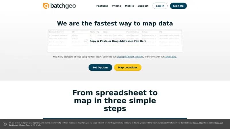
BatchGeo is an exceptional tool that revolutionizes the way we visualize and manage location data. The homepage clearly outlines its user-friendly features, making it accessible for both novices and seasoned professionals. With BatchGeo, mapping multiple addresses is as simple as copying and pasting your data into their platform, which is a significant time-saver for anyone dealing with extensive datasets.
The interface is intuitive, guiding users through the process of setting options and mapping addresses seamlessly. The ability to customize markers and group data enhances the visual appeal and functionality of the maps created. Furthermore, the option to protect maps with privacy settings ensures that sensitive information remains secure.
BatchGeo's impressive statistics, such as over 18 million maps created, speak volumes about its reliability and popularity among users. The Pro version offers advanced features like Street View integration and enhanced security, making it a valuable asset for businesses and real estate agents alike.
Overall, BatchGeo stands out as a powerful mapping solution that combines ease of use with robust capabilities, making it an indispensable tool for anyone looking to visualize their data effectively. Highly recommended!
GIS Features
- Color Coding
- Geocoding
- Internet Mapping
- Labeling
- Map Creation
- Map Sharing
- Near-Matching
- Reverse Geocoding
- Spatial Analysis
Leave a review
User Reviews of BatchGeo
No reviews yet.

