GEOCONCEPT SA: Leading GIS and Geographical Optimization Solutions for Enhanced Efficiency and Sustainability
GIS SoftwareDiscover GEOCONCEPT SA's GIS solutions for various industries. Enhance efficiency with route optimization and field service management. Explore our innovative approach today!
About Geoconcept
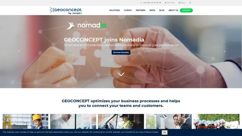
The homepage of GEOCONCEPT SA is a masterclass in effectively communicating the value of GIS and geographical optimization solutions. From the outset, the site is user-friendly, with a clean layout that allows visitors to navigate effortlessly through a wealth of information. The use of cookies is transparently communicated, ensuring users are informed about their data privacy.
One of the standout features is the comprehensive overview of solutions tailored to various industries, including emergency services, health, retail, and telecommunications. This segmentation not only highlights GEOCONCEPT's versatility but also demonstrates a deep understanding of the unique challenges faced by different sectors. The emphasis on field service management and route optimization is particularly noteworthy, as these are critical areas for businesses looking to enhance efficiency and customer satisfaction.
The inclusion of client testimonials and case studies adds a layer of credibility, showcasing real-world applications and the tangible ROI that GEOCONCEPT's solutions can deliver. Furthermore, the recognition by Gartner in the Field Service Management Magic Quadrant underscores the company's commitment to excellence and innovation.
The call to action for optimizing routes and improving field team productivity is compelling, encouraging potential clients to engage with the services offered. Additionally, the commitment to environmental responsibility, illustrated by the initiative to plant trees, reflects a forward-thinking ethos that resonates with today's socially conscious consumers.
Overall, GEOCONCEPT SA's homepage is not just informative; it is a strategic tool that effectively positions the company as a leader in geographical optimization solutions. The blend of user-centric design, industry-specific solutions, and a strong commitment to sustainability makes it a standout in the field.
GIS Features
- 3D Imagery
- Census Data Integration
- Color Coding
- Geocoding
- Image Exporting
- Image Management
- Internet Mapping
- Interoperability
- Labeling
- Map Creation
- Map Sharing
- Near-Matching
- Reverse Geocoding
- Spatial Analysis
Leave a review
User Reviews of Geoconcept
No reviews yet.
