Discover IGiS by Scanpoint Geomatics: Your Comprehensive GIS and Geospatial Solution
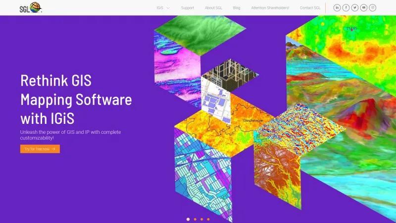
GIS SoftwareDiscover IGiS by Scanpoint Geomatics Ltd, a powerful geospatial platform integrating GIS, image processing, and CAD. Customize your experience and access 3D data anywhere.
About IGiS Desktop
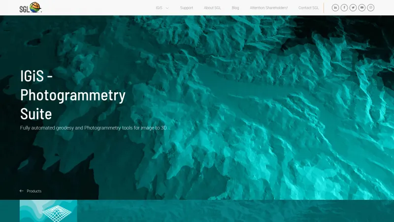
As a professional in the geospatial industry, I am thoroughly impressed by the capabilities and offerings of IGiS from Scanpoint Geomatics Ltd. This innovative platform stands out for its comprehensive integration of GIS, image processing, photogrammetry, and CAD functionalities, all within a single, user-friendly interface.
The emphasis on complete customizability is particularly noteworthy. IGiS allows users to tailor their experience to meet specific project needs, which is a significant advantage for professionals working in diverse fields such as defense, urban planning, agriculture, and smart city initiatives. The ability to create, process, view, and analyze 3D geospatial data through IGiS 3D Pruthvi is a game-changer, providing users with powerful tools to visualize complex datasets effectively.
Moreover, the platform's commitment to accessibility is commendable. With the option to access IGiS from any device, users can work seamlessly from various locations, enhancing productivity and collaboration. The free trial option is an excellent way for potential users to explore the software's capabilities without any initial investment, making it an attractive choice for organizations looking to adopt new geospatial technologies.
The partnership with ISRO further solidifies IGiS's position as a leader in the geospatial technology domain, ensuring that the platform remains at the forefront of innovation. This collaboration not only enhances the software's credibility but also guarantees that users benefit from the latest advancements in the field.
IGiS by Scanpoint Geomatics Ltd. is a robust and versatile solution for anyone involved in GIS mapping and image processing. Its extensive features, user-centric design, and commitment to innovation make it an invaluable tool for professionals seeking to enhance their geospatial capabilities. I highly recommend exploring IGiS for anyone looking to elevate their mapping and analysis processes.
Leave a review
User Reviews of IGiS Desktop
No reviews yet.
