Discover Maps Made Easy: The Ultimate Aerial Mapping and Photogrammetry Solution
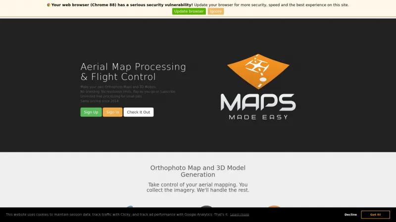
Drone Mapping SoftwareDiscover Maps Made Easy, the ultimate aerial mapping platform. Create high-quality orthophoto maps and 3D models effortlessly with flexible pricing and exceptional support.
About Maps Made Easy
Maps Made Easy is a game-changer in the realm of aerial mapping and photogrammetry. Their platform offers an impressive suite of features that empower users to create high-quality orthophoto maps and 3D models with unparalleled ease. The flexibility of their pay-as-you-go pricing model, alongside subscription options, ensures that users can choose a plan that best fits their needs without the burden of hidden fees or complicated contracts.
One of the standout features is the ability to use any aerial platform to collect imagery, which is a significant advantage for those who already own drones or other aerial devices. This "Bring Your Own Aircraft" (BYOA) approach not only saves costs but also allows for greater customization in data collection. The Map Pilot Pro app is intuitive and automates the data collection process, making it accessible even for those who may not be tech-savvy.
The quality of the output is exceptional, with the ability to process up to 5,000 source images and achieve resolutions that are up to 20 times higher than Google Earth. This level of detail is crucial for professionals in real estate, agriculture, and environmental monitoring, where accurate data can significantly impact decision-making.
Moreover, the platform's cloud-processing capabilities enable users to create georeferenced orthophotos and digital surface models efficiently. The inclusion of advanced measurement tools and NDVI processing for agricultural monitoring further enhances its utility, making it a comprehensive solution for various industries.
Maps Made Easy also prioritizes user experience with unlimited free processing for small jobs and a generous 15-day Pro-tier access for new accounts. Their commitment to customer support is evident, with multiple contact options and a dedicated help center.
Maps Made Easy stands out as a leader in aerial mapping solutions, combining high-quality output, user-friendly technology, and flexible pricing. Whether you're a seasoned professional or a newcomer to drone mapping, this platform is an invaluable resource that can elevate your mapping projects to new heights. Highly recommended!
Leave a review
User Reviews of Maps Made Easy
No reviews yet.
