Unlock Precision Drone Mapping with PIX4Dmapper: The Ultimate Photogrammetry Solution for Professionals
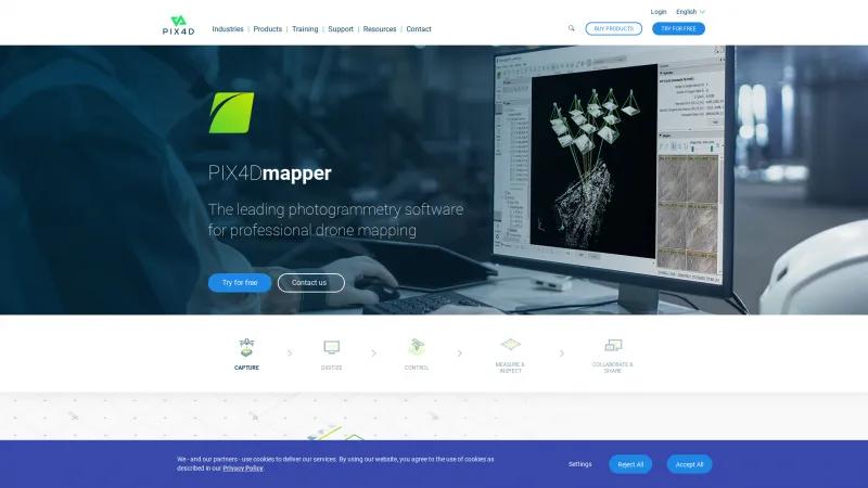
Drone Mapping SoftwareUnlock the power of drone technology with PIX4Dmapper. Create high-quality maps and 3D models with sub-centimeter accuracy for architecture, engineering, and agriculture.
About PIX4Dmapper
As a professional in the field of surveying and mapping, I can confidently say that PIX4Dmapper stands out as a premier solution for anyone looking to harness the power of drone technology for photogrammetry. The software's user-friendly interface combined with its robust capabilities makes it an invaluable tool for various industries, including architecture, engineering, construction, and precision agriculture.
One of the most impressive features of PIX4Dmapper is its ability to process images from any camera or drone, allowing for unparalleled flexibility. Whether you're working with RGB, thermal, or multispectral images, the software seamlessly transforms these inputs into high-quality digital maps and 3D models. The integration of the rayCloud environment is particularly noteworthy, as it provides users with the ability to visually verify and enhance the accuracy of their projects, ensuring that the final outputs meet the highest standards.
The precision of the results is another highlight. With sub-centimeter accuracy and advanced data processing capabilities, PIX4Dmapper delivers survey-grade results that are essential for critical applications. The automatic point cloud classification and the ability to measure distances, areas, and volumes accurately further enhance its utility.
Moreover, the collaborative features of PIX4Dmapper streamline project communication, allowing teams to share insights and data securely. This is crucial in today’s fast-paced work environment where teamwork and efficiency are paramount.
For those looking to scale their operations, the introduction of PIX4Dmatic offers a next-generation solution that processes large volumes of images over 40% faster, making it ideal for extensive projects. The ability to customize workflows and processing options ensures that users have complete control over their data, which is a significant advantage in complex projects.
PIX4Dmapper is not just software; it is a comprehensive solution that empowers professionals to achieve remarkable results in drone mapping and photogrammetry. Its combination of accuracy, flexibility, and user-centric design makes it a must-have tool for anyone serious about leveraging drone technology in their work. I highly recommend trying it out to experience its capabilities firsthand.
Leave a review
User Reviews of PIX4Dmapper
No reviews yet.
