Unlock Geospatial Power with PostGIS: The Essential PostgreSQL Tool for Spatial Data Management
GIS SoftwareDiscover PostGIS, the powerful extension for PostgreSQL that enhances geospatial data management with advanced features, spatial indexing, and seamless integration.
About PostGIS
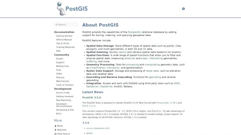
PostGIS is an exceptional tool that significantly enhances the capabilities of the PostgreSQL relational database by integrating robust support for geospatial data. The homepage effectively highlights the key features that make PostGIS a standout choice for developers and data analysts alike.
One of the most impressive aspects of PostGIS is its comprehensive spatial data storage options, allowing users to manage a variety of spatial data types, including points, lines, and polygons in both 2D and 3D formats. This versatility is crucial for applications that require detailed geographic information.
The spatial indexing feature is another highlight, enabling rapid searches and retrieval of spatial data based on location. This efficiency is vital for applications that demand quick access to geospatial information, making PostGIS an invaluable asset in data-driven decision-making.
Moreover, the extensive range of spatial functions available for filtering and analyzing data—such as measuring distances, intersecting geometries, and buffering—demonstrates PostGIS's commitment to providing powerful tools for geospatial analysis. The inclusion of geometry processing tools further enhances its functionality, allowing users to manipulate and refine their data with ease.
The support for raster data and geocoding functions adds another layer of utility, making PostGIS a comprehensive solution for various geospatial needs. Additionally, the seamless integration with third-party tools like QGIS and ArcGIS ensures that users can leverage PostGIS within their existing workflows.
The recent release of PostGIS 3.5.0, which includes new features and bug fixes, showcases the ongoing commitment of the PostGIS team to improve and innovate. This version's compatibility with PostgreSQL 12-17 and GEOS 3.8 or higher ensures that users can take full advantage of the latest advancements in geospatial technology.
PostGIS stands out as a powerful and versatile tool for anyone working with geospatial data. Its rich feature set, combined with a user-friendly interface and strong community support, makes it an essential resource for developers and analysts looking to harness the power of geospatial information.
Leave a review
User Reviews of PostGIS
No reviews yet.


