Hexagon: Pioneering Innovation in Safety, Infrastructure & Geospatial Solutions for a Sustainable Future
GIS SoftwareDiscover Hexagon's innovative Safety, Infrastructure & Geospatial solutions, enhancing resilience and sustainability across sectors like public safety and utilities.
About GeoMedia
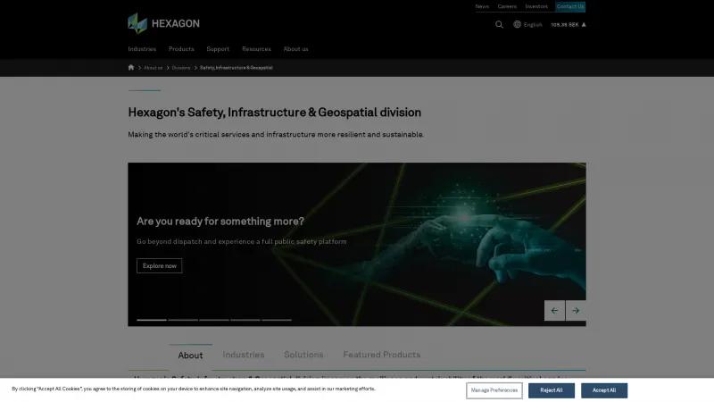
Hexagon's Safety, Infrastructure & Geospatial division stands out as a beacon of innovation and reliability in today's complex world. Their commitment to enhancing the resilience and sustainability of critical services and infrastructure is not just commendable; it is essential. By transforming intricate data into actionable insights, Hexagon empowers organizations across various sectors—including public safety, utilities, and defense—to make informed decisions swiftly and effectively.
The breadth of industries served is impressive, ranging from aerospace to agriculture, and their solutions are tailored to meet the unique challenges of each sector. The emphasis on ethical AI practices and sustainability reflects a forward-thinking approach that prioritizes not only technological advancement but also social responsibility.
Hexagon's public safety platform is particularly noteworthy, as it goes beyond traditional dispatch systems to provide a comprehensive suite of tools for data management and collaboration. This innovation is crucial for protecting communities and ensuring efficient emergency response.
Moreover, the integration of digital twin technology and cloud-based solutions like HxGN Connect showcases Hexagon's dedication to leveraging cutting-edge technology for improved operational efficiency. Their focus on creating safer, smarter environments through data-driven insights is a testament to their leadership in the geospatial industry.
Hexagon's Safety, Infrastructure & Geospatial division is not just a service provider; they are a vital partner in building a safer, more sustainable future. Their innovative solutions and unwavering commitment to excellence make them a standout choice for organizations looking to navigate the complexities of modern infrastructure and public safety challenges.
GIS Features
- 3D Imagery
- Census Data Integration
- Color Coding
- Geocoding
- Image Exporting
- Image Management
- Internet Mapping
- Interoperability
- Labeling
- Map Creation
- Map Sharing
- Spatial Analysis
Leave a review
User Reviews of GeoMedia
No reviews yet.
