Skycatch: Revolutionizing Drone Automation and Geospatial Data Solutions for Enhanced Efficiency and Accuracy
Drone Mapping SoftwareDiscover Skycatch's innovative drone automation and data analysis solutions, designed for efficiency and precision in geospatial data management. Maximize productivity today!
About Skycatch
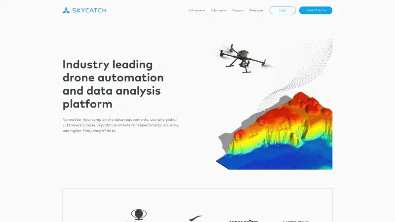
Skycatch's homepage presents a compelling overview of its innovative drone automation and data analysis solutions, making it a standout choice for businesses seeking efficiency and accuracy in their geospatial data needs. The platform's emphasis on repeatability and precision is particularly noteworthy, as it addresses the complexities of data requirements faced by global customers.
The range of products offered, including EdgeServer, SkyPlan, SkyFleet, DataHub, SkySight, and DroneMaps, showcases a comprehensive suite designed to enhance project management, compliance, and data analytics. Each tool is tailored to streamline operations, ensuring that users can maximize their productivity while minimizing time and resource expenditure.
The testimonial from Hugo Padilla, a Mine Engineer and Lead Surveyor, underscores the practical benefits of Skycatch's solutions. The significant reduction in time to obtain high-accuracy 3D data—60% faster than traditional methods—demonstrates the platform's effectiveness. Additionally, the ability to cover three times the area in a fraction of the time, all while enhancing safety by reducing personnel exposure, speaks volumes about the value Skycatch brings to its clients.
Overall, Skycatch positions itself as a leader in the drone automation space, with a clear commitment to helping businesses scale and meet their geospatial data needs. The user-friendly interface and robust support options further enhance the appeal of their offerings. For any organization looking to leverage cutting-edge technology for data management and analysis, Skycatch is undoubtedly a top contender.
Leave a review
User Reviews of Skycatch
No reviews yet.

