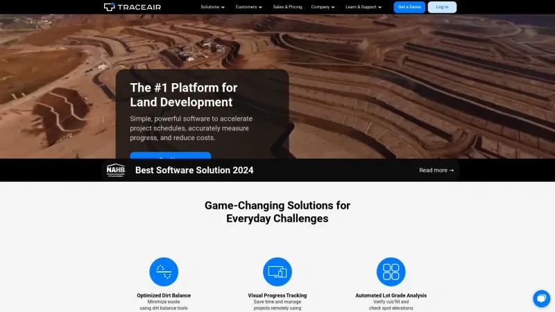
TraceAir Solutions: Revolutionizing Land Development with Advanced Tools for Project Efficiency and Accuracy
Drone Mapping SoftwareDiscover TraceAir Solutions, the leading platform for land development. Enhance project efficiency with innovative tools, automated lot grade analysis, and remote management.
About TraceAir
TraceAir Solutions stands out as a premier platform for land development, offering innovative tools that significantly enhance project efficiency and accuracy. Their commitment to optimizing dirt balance and providing visual progress tracking through advanced LiDAR services is commendable. The software is designed with the user in mind, making it simple yet powerful enough to meet the demands of builders, developers, and contractors alike.
One of the most impressive features is the automated lot grade analysis, which allows users to verify cut/fill and check spot elevations with remarkable ease. This not only saves time but also minimizes the potential for costly errors, making it an invaluable asset for any construction project. The ability to manage projects remotely using 3D topographical scans is a game-changer, especially in today’s fast-paced environment where efficiency is key.
TraceAir's dedication to customer satisfaction is evident in their comprehensive support resources, including webinars, case studies, and an ROI calculator. This level of engagement ensures that users can fully leverage the platform's capabilities to achieve site balance and accelerate their project schedules.
Moreover, the platform is trusted by industry leaders, which speaks volumes about its reliability and effectiveness. For anyone involved in land development, TraceAir Solutions is undoubtedly a top-tier choice that promises to streamline operations and reduce costs. I highly recommend exploring their offerings through a demo to see firsthand how they can transform your project management experience.
Leave a review
User Reviews of TraceAir
No reviews yet.
