Unlock Geospatial Excellence with IGiS - Comprehensive GIS & IP Enterprise Suite
GIS SoftwareDiscover IGiS - GIS & IP Enterprise Suite, a powerful geospatial solution for data management and analysis. Scalable, user-friendly, and packed with advanced features.
About IGiS Enterprise Suite
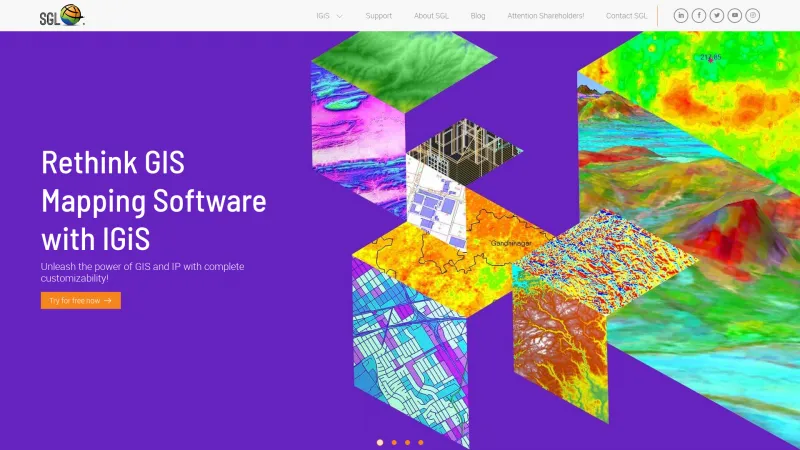
The IGiS - GIS & IP Enterprise Suite from Scanpoint Geomatics Limited stands out as a comprehensive and powerful geospatial solution tailored for organizations seeking to enhance their data management and analysis capabilities. This suite is not just a collection of tools; it is a robust platform that integrates various functionalities, making it an invaluable asset for professionals in the GIS industry.
One of the most impressive aspects of IGiS is its scalability. The suite is designed to grow with your organization, accommodating increasing data volumes and user demands without compromising performance. The Service-Oriented Architecture (SOA) and OGC-compliant services ensure that users can seamlessly share, manage, and distribute geospatial data across multiple platforms, including desktop, web, and mobile.
The IGiS Desktop application is particularly noteworthy, offering advanced cartographic and visualization tools that allow users to create, process, and analyze both 2D and 3D maps. The integration of GIS and image processing capabilities within a single interface streamlines workflows and enhances productivity. Additionally, the IGiS Publisher simplifies the process of publishing data and services, making it accessible with just a click.
For fieldwork, the IGiS Mobile application is a game-changer. It empowers users to capture, edit, and display GIS data in real-time, leveraging GPS technology for improved accuracy. This flexibility is crucial for professionals who require reliable data collection in various environments.
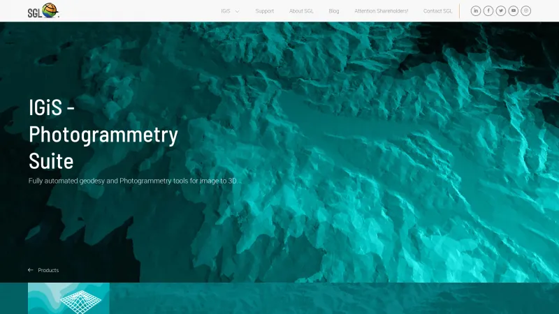
The suite also excels in specialized analyses with modules like the Network Analyst, Tracking Analyst, and 3D Analyst, which provide sophisticated tools for routing, temporal data visualization, and terrain navigation. The inclusion of advanced features such as Neural Network and Hyperspectral Analysts further demonstrates IGiS's commitment to innovation and comprehensive data analysis.
Moreover, the user-friendly interface and extensive support resources, including a free trial and dedicated customer service, make IGiS accessible to both seasoned GIS professionals and newcomers alike.
IGiS - GIS & IP Enterprise Suite is a leading solution in the geospatial industry, offering a rich set of features that cater to a wide range of applications. Its ability to integrate various functionalities into a single platform, combined with its scalability and user-centric design, positions it as an essential tool for organizations looking to leverage geospatial data effectively. I highly recommend exploring IGiS for any organization aiming to enhance its geospatial capabilities.
GIS Features
- 3D Imagery
- Color Coding
- Geocoding
- Image Exporting
- Image Management
- Internet Mapping
- Interoperability
- Labeling
- Map Creation
- Map Sharing
- Spatial Analysis
Leave a review
User Reviews of IGiS Enterprise Suite
No reviews yet.
