Discover CartoDruid, the essential offline GIS app for Android. Edit vector and raster layers seamlessly, customize data forms, and enhance fieldwork efficiency today!
About CartoDruid
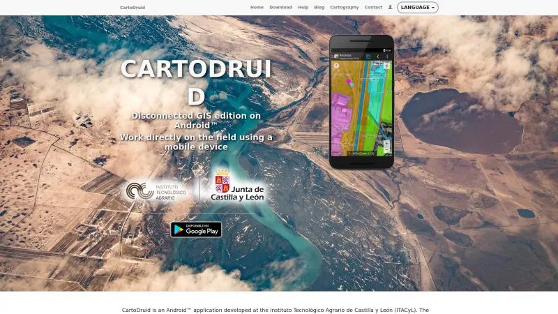
CartoDruid, developed by the Instituto Tecnológico Agrario de Castilla y León (ITACyL), is an exceptional Android application that addresses a critical need in the realm of Geographic Information Systems (GIS) for fieldwork. Its innovative approach to disconnected GIS editing makes it an invaluable tool for professionals who often find themselves in areas with limited or no mobile coverage.
One of the standout features of CartoDruid is its ability to allow users to view and edit both vector and raster layers directly on their mobile devices. This capability is particularly beneficial for tasks such as Land Parcel Identification and Cadastre work, where access to real-time data is often hindered by poor connectivity. The application empowers users to download necessary cartographic information and work seamlessly in offline environments, ensuring that data collection and editing can occur without interruption.
The user-friendly interface of CartoDruid is designed for individuals with varying levels of GIS knowledge, making it accessible to a broader audience. The application supports the creation of custom forms for data collection, which can be tailored to specific project needs, whether for surveys, marketing studies, or statistical data collection. This flexibility enhances the overall functionality of the tool, allowing users to gather and manage information efficiently.
Moreover, CartoDruid's robust geometry editing engine provides users with the ability to create and modify point, line, and polygon features with ease. The integration of GPS functionality further enhances the accuracy of data collection, making it a powerful asset for field professionals.
The application also supports various data formats, including Sqlite and ESRI Shapefile, which facilitates the import and export of data, ensuring compatibility with other GIS applications. This feature is particularly advantageous for users who need to integrate their work with existing datasets or share information with colleagues.
CartoDruid is a remarkable tool that significantly enhances the efficiency and effectiveness of fieldwork in GIS. Its offline capabilities, user-friendly design, and comprehensive editing features make it a must-have for professionals in agriculture, environmental studies, and urban planning. For anyone looking to streamline their GIS tasks in the field, CartoDruid is undoubtedly worth exploring.
GIS Features
- Census Data Integration
- Labeling
- Map Creation
Leave a review
User Reviews of CartoDruid
No reviews yet.


