Revolutionize Imagery and Video Analysis with ArcGIS Excalibur: The Ultimate Cloud-Based Solution for Professionals
GIS SoftwareDiscover ArcGIS Excalibur, the cloud-based solution for advanced imagery and video analysis. Enhance decision-making with real-time insights and customizable workflows.
About ArcGIS Excalibur
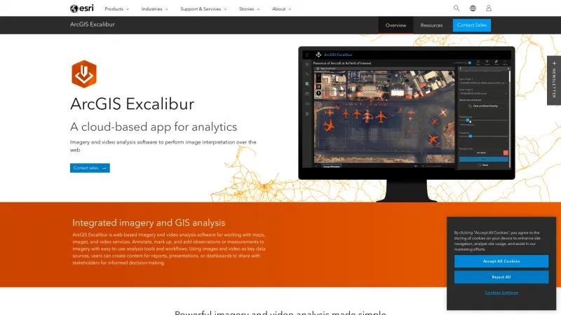
ArcGIS Excalibur stands out as an exceptional cloud-based application that revolutionizes the way we approach imagery and video analysis. Its user-friendly interface and robust features make it an invaluable tool for professionals across various industries, from disaster relief to utility management.
One of the most impressive aspects of Excalibur is its ability to seamlessly integrate imagery and GIS analysis. Users can easily annotate, measure, and mark up images and videos, transforming raw data into actionable insights. The real-time analysis capabilities allow for immediate decision-making, which is crucial in time-sensitive situations.
The search functionality is particularly noteworthy. With the ability to filter imagery and video by various parameters such as date, location, and metadata, users can quickly access the information they need. This feature not only saves time but also enhances the efficiency of remote inspections and assessments.
Excalibur's ready-to-use workflows are a significant advantage, allowing users to customize their projects and tools according to specific needs. The flexibility to edit projects and add observation layers ensures that the analysis is contextually relevant and tailored to the task at hand.
Moreover, the integration with ArcGIS Video Server is a game-changer, enabling users to stream live video alongside telemetry data. This capability enhances situational awareness and provides near real-time insights, which are invaluable for monitoring and responding to dynamic environments.
ArcGIS Excalibur is a powerful and intuitive solution for imagery and video analysis. Its comprehensive features, ease of use, and integration capabilities make it an essential tool for professionals seeking to leverage geospatial data for informed decision-making. Whether for remote inspections, disaster response, or infrastructure assessments, Excalibur is poised to elevate the standards of imagery analysis in the digital age.
Leave a review
User Reviews of ArcGIS Excalibur
No reviews yet.
